
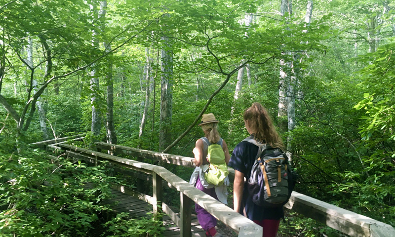
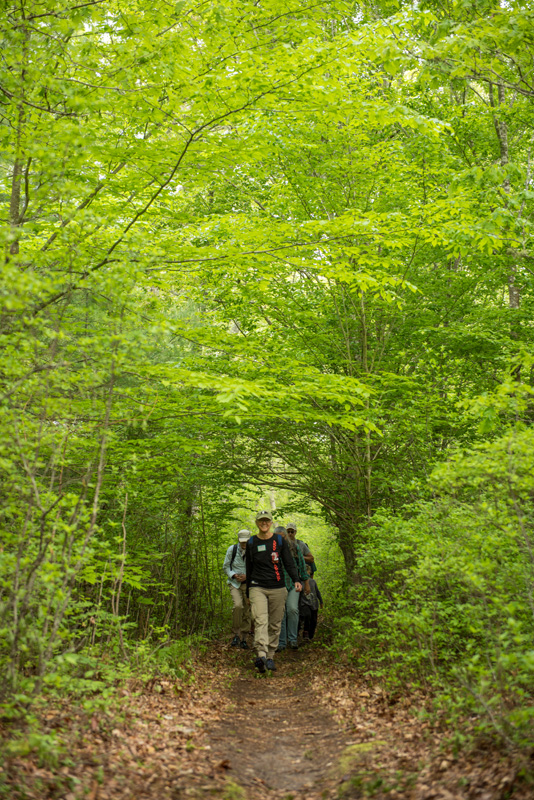

With so many stunning walking trails and natural spaces on the Island, it can be tough to figure out exactly which spots to hit first. The TrailsMV mobile app took off in June of 2018 — it was established by members of the Sheriff’s Meadow Foundation in collaboration with the Martha’s Vineyard Commission, the Martha’s Vineyard Land Bank, Felix Neck Wildlife Sanctuary, Polly Hill Arboretum, Vineyard Conservation Society, The Trustees of Reservations, Vineyard Open Land Foundation, Mass. Department of Conservation and Recreation, The Nature Conservancy, and the six Martha’s Vineyard towns.
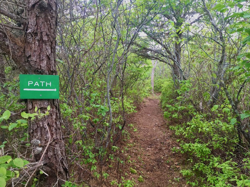
The app provides a comprehensive look at all the publicly accessible conservation lands on the Vineyard, including more than 220 miles of trails and more than 100 protected properties. Local folks and visitors alike have been loving the app — it’s been downloaded thousands of times since its launch.
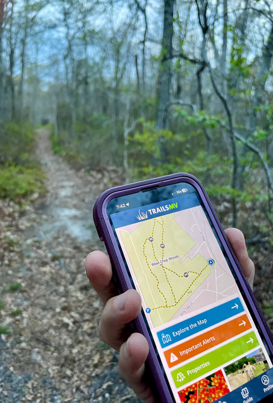
There are a lot of things to enjoy on the TrailsMV app. Folks can check out a full map of the Island and can click to view each individual property. There is also information available regarding important events, alerts for closures or maintenance, and links to articles and publicly-shared photos of each spot. Maybe you’re new to the Island and want a little more guidance; the app includes curated excursions with fascinating ecological and historical information.
Since last year, TrailsMV has used the latest ArcGIS geospatial mapping technology, according to the Sheriff’s Meadow Foundation newsletter. “Last year, Sheriff’s Meadow evaluated the software limitations of its popular TrailsMV mobile app and embarked on an ambitious and dynamic redesign …” the newsletter reads. “The result — TrailsMV 2.0 — is now available free in the App Store and Google Play. It’s an ongoing multi-phase project with great potential, and we welcome your input and ideas.”
One big project that the TrailsMV team is working on is their Accessibility Project — to evaluate the conditions of the Island’s conservation properties for folks with disabilities and limited mobility. According to the newsletter, TrailsMV is working with Dick Cohen, a retired disability rights lawyer, and collaborating with many people and organizations to gather input and craft an Island-wide report. The accessibility initiative is made possible with support from the Edey Foundation, the Martha’s Vineyard Community Foundation, and the Martha’s Vineyard Bank Charitable Foundation. The Island Disability Coalition and its member groups also participated. The Farm Neck Foundation and Cape Cod Five have also supported the new TrailsMV upgrade.
It’s easy to download the TrailsMV app. Go to the App store or Google Play and enter TrailsMV in the search bar. Then download the app and start exploring! If you need to upgrade the app, simply delete it and redownload.